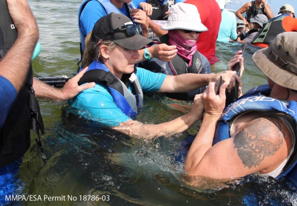
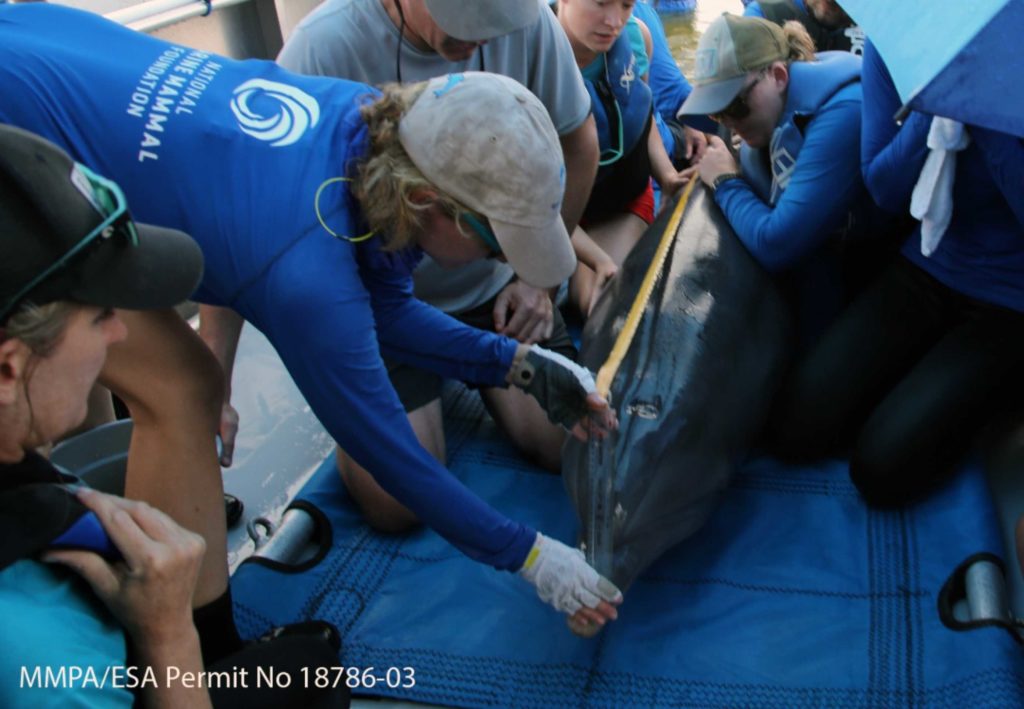
During 2018, the CARMMHA team and our collaborators successfully and safely captured, satellite tagged, and released 39 dolphins (20 in Barataria Bay, LA and 19 in the waters around Dauphin Island, AL). The 20 dolphins tagged in Barataria Bay provided information that complimented much of what we know about dolphin movements from the previous 65 satellite tags that our team had deployed during 2011 – 2017 in the region.
Capture locations for the 20 satellite tagged dolphins in Barataria Bay.
Capture locations for the 19 satellite tagged dolphins around Dauphin Island.
The 2018 tagged dolphins in Barataria Bay had generally localized movements and many are known to be long-term (multiple year) residents to the localized waters, such as Dolphin Z21, who spent much of her time around Grand Isle for the several months that her satellite tag transmitted.
Satellite telemetry locations during 2018 for bottlenose dolphin, Z21.
Unlike Barataria Bay in which we are beginning to understand dolphin movements (85 satellite tags deployed since 2011), the focus of the Dauphin Island project was to collect some of the first data on health and movement patterns for dolphins in the coastal waters of the northern Gulf of Mexico. This information is essential to assess how coastal dolphins are recovering from the Deepwater Horizon oil spill.
Dr. Alissa Deming (Staff Veterinarian, Dauphin Island Sea Lab) and Dr. Deborah Fauquier (Veterinary Medical Officer, NOAA/NMFS Marine Mammal Health and Stranding Response Program) prepare to collect blood while Dr. Brian Balmer (CARMMHA co-PI, National Marine Mammal Foundation) holds the dolphin’s fluke.
Dr. Lori Schwacke (Chief Scientist and CARMMHA Director, National Marine Mammal Foundation) measures the dolphin’s length. Weight and length measurements help assess the dolphins body condition, similar to how Body Mass Index (BMI) is used for people.
There were two different, general movement patterns for dolphins in the Dauphin Island region. Some individuals had localized movements in the estuarine waters around Dauphin Island, such as Dolphin 686.
Satellite telemetry locations during 2018 - 2019 for bottlenose dolphin, 686.
Other individuals had movements primarily focused around the barrier islands of Mississippi Sound, such as Dolphin 685.
Satellite telemetry locations during 2018 - 2019 for bottlenose dolphin, 685.
The satellite tags attached to dolphins in the northern Gulf of Mexico are a design that has been engineered over the past 20 years to minimize impacts to the tagged individual (tag falls off and leaves a small hole or notch in the dorsal fin) while maximizing the information on where individual dolphins go and threats that they may be exposed to. The tags this year transmitted for on average 4 – 5 months and provided researchers with thousands of locations to better understand the dolphins that call the northern Gulf of Mexico their home.